My subjects are old.
If you take a look at the subjects I choose for my extra large canvas art, you’ll notice that there are no skyscrapers. There are no people, few buildings, and almost no signs of manmade structures. What I am working on today is topographical art, where I utilize maps, charts, and atlases to recreate the aerial views on extra-large canvases. That’s not to say that I’ve never included people or structures in pieces I’ve done, but for now my interests lies in topographical painting and sometimes landscapes.
Like I said…my subjects are old. Shorelines have been there for thousands or millions of years. After all, barring some human intervention in places like The Netherlands (of which 17% of the country has been reclaimed from the sea), shorelines don’t change much. Most topographical art that I create would be recognizable to someone flipping through a 17th-century atlas in most cases. Often my art is even more accurate than maps of old.
My subjects are old and have been recreated by artists and mapmakers for hundreds or thousands of years. All of my subjects have been put to ink or paint in the past. How can I make my mark on these pieces?
The Familiar and the Unfamiliar
When looking at my “Geographic Abstraction” series, found on the homepage of my website, the first thing you’ll most likely notice are the familiar shapes of countries and states. There’s Africa, there’s Texas, there’s California. Nearly every American could pick out the shapes of the Great Lakes, even if they couldn’t call each by name. Whether they are represented entirely by their geographic shapes or they also include man-made borders, they’re recognizable.
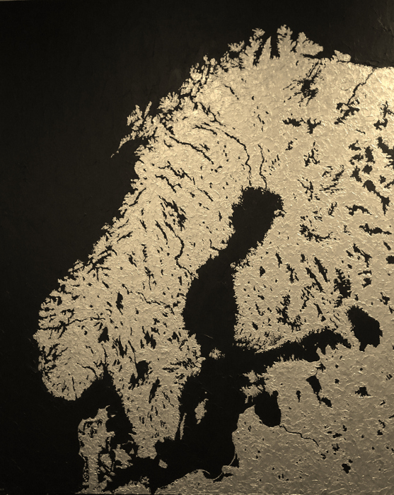
But then there’s the unfamiliar. While there are millions of representations of the United States in art, I’ve also chosen some places that most people would not be able to recognize, such as Guangzhou and The Pearl River Delta and Scandinavia.
I make my mark by choosing the familiar and the not-so-familiar. But isn’t it amazing how easy it is to identify as topographical art even if you don’t recognize the particular location?
Size
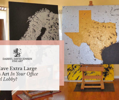
If the first thing you notice on my homepage is the topographical nature of the art, the second thing you’ll almost certainly take note of is the fact that it’s extra-large canvas art. At first it might not be so obvious, and that’s why I’ve stepped in to pose with my extra large paintings. As you can see, a six-foot-tall painting is not out of the ordinary in my studio.
Why have I chosen to make such large canvas art? Being able to show such a fine level of detail is certainly an important reason, though it’s not the only reason. Making large art is simply a part of who I am as an artist and probably stems from the artwork that inspired me.
Sculpting
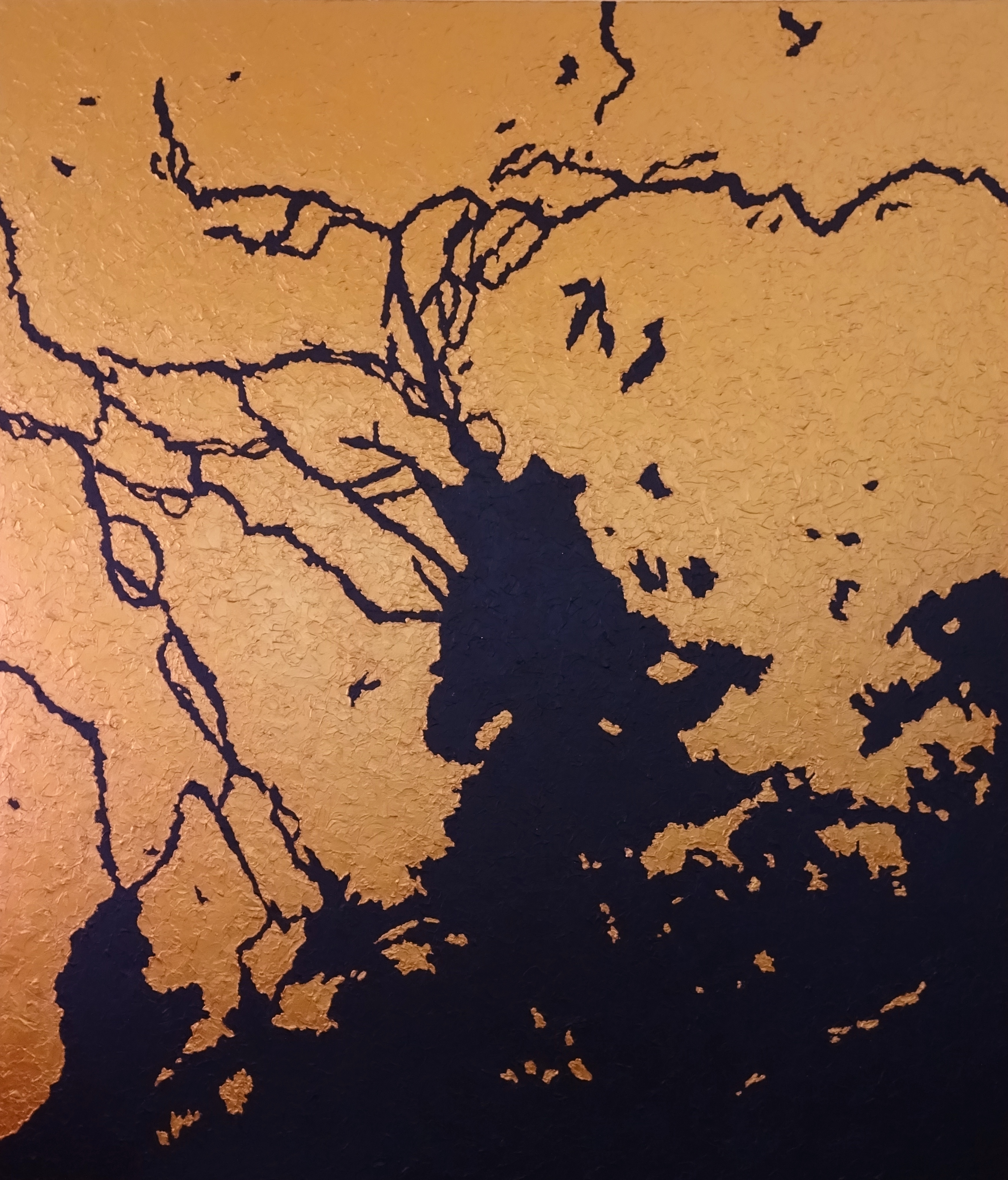
While at first my paintings might seem two dimensional, you’ll certainly see a difference when you see them in person. While I often call them extra large paintings (because of the use of paint), the paint is actually sculpted and layered upon the canvas with palette knives in order to represent the physicality of land and water.
Colors
There are dozens of ways to represent land masses on paper and on a computer. Sometimes the colors represent elevations, other times the general environment of the land (making forests green and deserts light brown, for example).
I’ve chosen a different way to represent the land masses via color. I think I said it best elsewhere on the site: “They are created using silver, copper, and gold acrylic iridescent paint…In not using traditional colors to interpret the subject matter, I have divorced the works from traditional geographic depictions.”
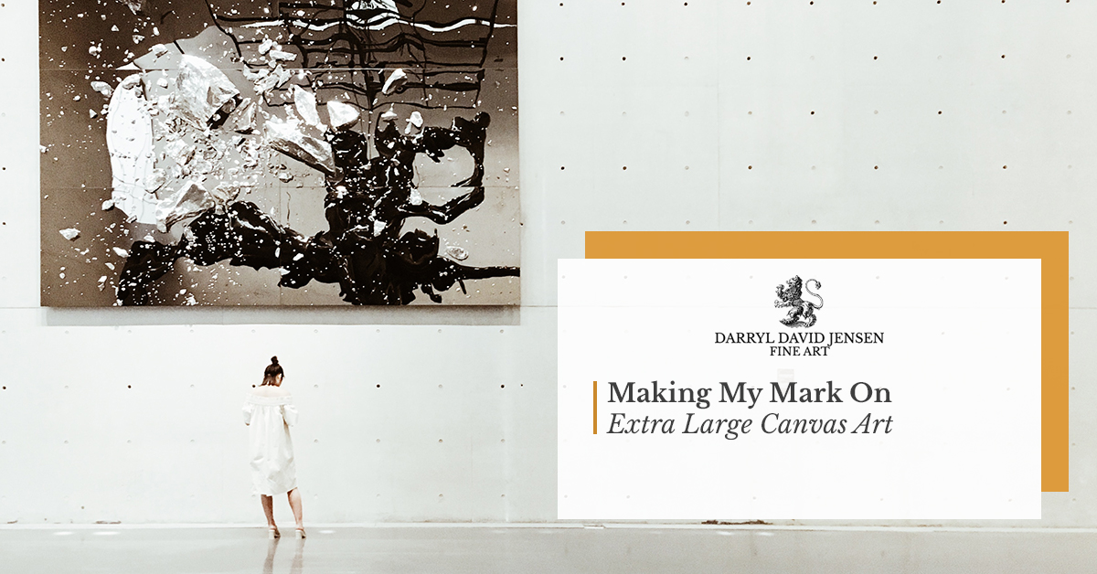
Making My Mark
If you’re interested in extra large canvas art or topographical paintings, I hope you’ll consider my artwork for your home or office. I’ve made my mark on canvas, and now you can make a mark on your space.
